

TET Norway Section 5
Address
Kinsarvik – Geilo
0 users have saved this item in their Bucket list.
You can also make your own list.
Route Facts
Start: Kinsarvik
Finish: Geilo
Length: Approx. 239 km
Surface: Mostly paved, with a gravel mountain detour
TET Norway was completely revised in 2026, evolving from a mostly gravel adventure into a mix of gravel, tiny backroads and spectacular tarmac – designed to showcase the best of Norway from a motorcycle seat.
Section 5 is proof that a great adventure doesn’t necessarily require endless gravel roads. This section combines beautiful fjord roads, steep mountain climbs, spectacular hairpins and the vast landscapes of Hardangervidda. Most of the riding is on tarmac, making it particularly attractive for riders who prefer to keep their wheels on paved roads. However, there is one interesting gravel adventure along the way.
From Kinsarvik to Ulvik
The ride begins in Kinsarvik, surrounded by the lush landscapes of Hardanger. Here, fruit orchards, waterfalls and steep mountainsides frame the fjord, creating one of Norway’s most beautiful regions.

Heading north, the route crosses Hardangerbrua, Norway’s longest suspension bridge. Opened in 2013, it stretches 1,380 meters across the fjord and replaced the old Bruravik–Brimnes ferry connection. Interestingly, both ends of the bridge connect directly to tunnels, with a roundabout hidden inside the mountain on the northern side.
Around Granvin, a short detour to Skjervsfossen is well worth considering. The waterfall drops 150 metres in two stages, while the old road offers some enjoyable bends. And there’s another attraction: the unusually designed public toilet at the upper parking area, where even a visit to the bathroom becomes a little sightseeing experience!
The route continues towards Ulvik, a charming village surrounded by mountains and fruit farms. From here, one of the most memorable parts of Section 5 begins.

Osafjellet – a mountain road worth riding twice
Beyond Ulvik lies Osa, a small settlement at the end of a narrow fjord. From here, the road climbs dramatically into the mountains.
Osafjellet is one of those roads that reminds you exactly why you ride a motorcycle. The narrow road twists uphill through sharp bends, steep slopes and increasingly spectacular scenery. As you gain altitude, the green fjord landscape gives way to bare rock, mountain lakes and enormous views.
The road was developed in connection with hydropower installations in the mountains. Today, it offers motorcyclists a spectacular climb into an otherwise remote landscape.
This is a toll road, and conditions can vary with the season. However, when it’s open, the combination of tight bends, dramatic elevation changes and mountain scenery makes the detour unforgettable.
Since the road ends in the mountains, you’ll eventually turn around and ride back towards Ulvik. Fortunately, the descent offers an entirely different perspective on the same magnificent landscape.

Rider’s tip: When planning the loop around Ulvik, consider riding along the fjord towards Osa and taking the inland road on your return. That way, you get to enjoy the wonderful hairpin bends climbing out of Ulvik rather than riding them downhill.
A hidden gravel adventure above Eidfjord
After returning from Osafjellet, the route continues towards Eidfjord, another beautiful village surrounded by towering mountains.
But before climbing towards Hardangervidda, Section 5 takes an unexpected detour into Hjølmodalen.
From Øvre Eidfjord, a narrow road winds through the valley before climbing steeply towards Hjølmaberget. According to Eidfjord municipality, the final mountain road includes approximately 10 kilometres of gravel and reaches around 850 metres above sea level.
The road is narrow, twisting and steep, with dramatic views across the surrounding mountains. It was developed in several stages and now provides access to hiking areas in the western part of Hardangervidda.
This is the section’s main gravel adventure, offering a completely different riding experience from the smooth fjord roads below.
After enjoying the mountain scenery, the route returns towards Eidfjord and the famous climb through Måbødalen.
Måbødalen – where building a road was an adventure
The climb from Eidfjord towards Hardangervidda is one of Norway’s great mountain-road experiences.
Måbødalen is a deep, narrow valley where the road climbs through tunnels and dramatic mountain scenery. However, getting through this landscape was once a considerable challenge.
Before modern roads existed, travellers followed steep mountain paths. The old pack route included around 1,500 stone steps, built to help people and horses negotiate the difficult terrain.
Later came the first road suitable for motor vehicles, with tight bends and impressive stone bridges. Much of this old infrastructure was replaced when the modern road opened in 1986.
For a glimpse of the past, stop at Måbø Bridge rest area, near the top of the valley. Here, a beautiful stone arch bridge from 1910 and sections of the protected old road show how travellers crossed this demanding landscape before today’s tunnels.
It’s a fascinating reminder that building roads through Norway’s mountains was once an adventure in itself.
Vøringsfossen – more than just a waterfall
Near the top of Måbødalen, make time for Vøringsfossen, one of Norway’s most famous waterfalls.
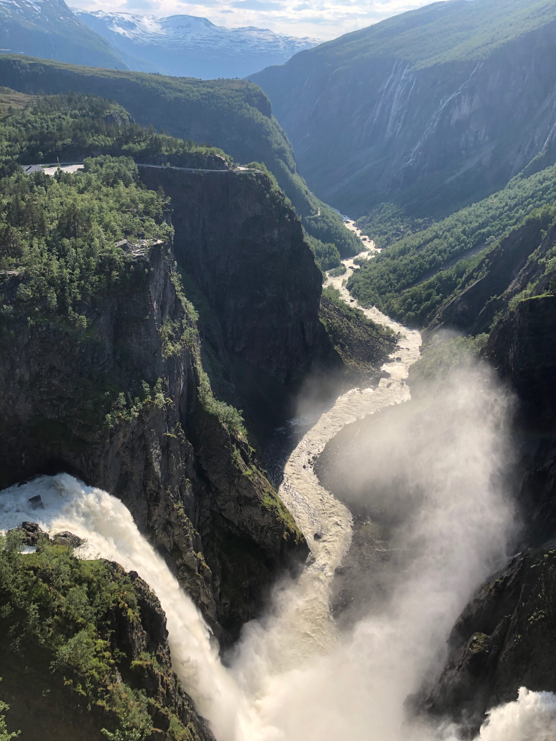
The water plunges 182 metres into the dramatic canyon below. However, the waterfall is no longer something you simply admire from a distant viewpoint.
A spectacular pedestrian bridge, opened in 2020, crosses the gorge with 99 steps and a span of 47 metres. Together with new viewpoints and walking paths, it offers extraordinary perspectives of the waterfall and surrounding landscape.
The visitor facilities were further expanded in 2024, making this an attraction worth spending some time exploring rather than just stopping for a quick photograph.
Across the enormous Hardangervidda
After Vøringsfossen, the landscape changes dramatically once again.
The steep mountains and narrow valleys gradually disappear, replaced by the vast, open landscapes of Hardangervidda, Northern Europe’s largest high mountain plateau.
This is a completely different kind of motorcycle experience. Instead of sharp bends and steep climbs, the road stretches across an enormous landscape of mountain lakes, rocky hills and distant peaks.
The sense of space is extraordinary. On clear days, you can see far across the plateau towards the glacier Hardangerjøkulen. The area is also home to one of Europe’s largest wild reindeer populations.
The route follows Norwegian Scenic Route Hardangervidda, where the road itself becomes part of the experience. Weather conditions can change quickly, and snow may remain beside the road well into summer.
Eventually, the landscape becomes greener as the route approaches Geilo, where Section 5 comes to an end.
From lush Hardanger orchards to remote mountain roads, historic engineering and the endless horizons of Hardangervidda, this section offers an incredible variety of scenery in less than 240 kilometres.
And for riders who don’t particularly enjoy gravel? This might just be your favourite TET section!
Explore TET Norway
Norway currently has 17 TET sections covering more than 9,000 kilometers. Explore them below.
👉 See all sections in one, approximate map.
Section 1: Øyermoen – Blåhø
Section 2: Dagali – Lysefjorden
Section 3: Finland – North Cape
Section 4: Lysefjorden – Utne
Section 5: Kinsarvik – Geilo
Section 6: Hol – Sogndal
Section 7: Sogndal – Åfarnes
Section 8: Åfarnes – Orkanger
Section 9: Viksdalsvatnet – Vestkapp – Geiranger
Section 10: Granvin – Vangsnes
Section 11: Kristiansand – Årdal
Section 12: Rjukan – Lunde – Dalen
Section 13: Lom – Grotli
Section 14: Orkanger – Bodø
Section 15: Moskenes – Alta
Section 16: Orkanger – Gäddede
Section 17: Bergen – Modalen

Practical information
The Trans Euro Trail is maintained by volunteers called Linesmen. Norway’s Linesman is Tore Silseth, who develops, checks and updates the Norwegian sections.
This work is particularly important in Norway. Off-road riding is generally not permitted, and many private gravel roads are closed to motorised traffic. The TET is designed to follow roads where motorcycles are legally allowed.
TET routes are constantly evolving. Roads may close, access can change, and sections may be rerouted. Always download the latest GPX file from the official Trans Euro Trail Norway website shortly before your ride.
The routes shown on Bucket List Norway are simplified illustrations, not navigation tracks. They only show the approximate location of each section and cannot be used for navigation. Bucket List Norway does not provide official TET GPX files.
Wild camping is generally permitted under Norway’s right to roam, provided you follow the rules and respect homes, farmland and nature. Campsites and other accommodation are also available along or near most sections.
For information about ferries, FerryPay, toll roads, traffic rules and other useful information for motorcycle travellers, see my General Norway Information.
Please respect gates, signs, local restrictions and other road users. Responsible riding helps keep these roads open for everyone.
YouTube video by Eivin’s Adventure




Need a place to sleep in the area? 😴
Please support the site by using my affiliate link in button below if you are looking for a place to sleep in this area! It goes a long way in terms of keeping the site free!! Booking.com let you ride freely – yet find accommodation anywhere when your are done! ❤️👇

Other locations in this part of the country:
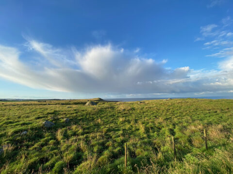
Scenic Route Jæren runs from Ogna to Bore, a total of 41 km (Road 44/507). Make some detours to visit beaches, lighthouses, and ports.
View more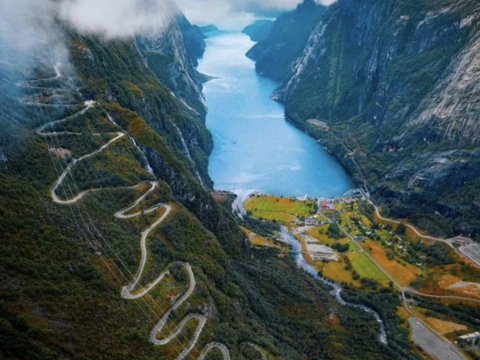
The popular tourist road Lysevegen in Ryfylke has 27 hairpins, and goes from Lysebotn in Lysefjorden, to Sirdal. The road is close to 80 km long.
View more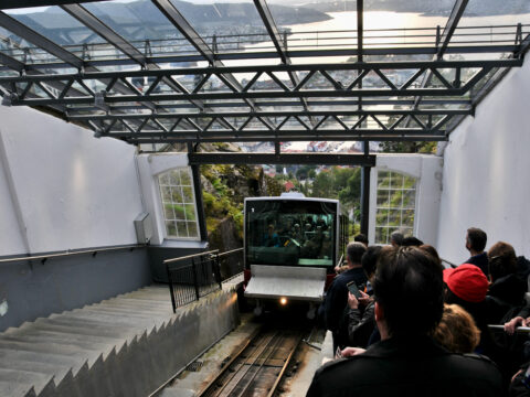
The Fløibanen funicular in Bergen is one of Norway’s best-known attractions and the only railway of its kind in the country.
View more
Explore TET Norway Section 10: 499 km through Voss, Eksingedalen and Vikafjellet, with optional gravel roads and Viking history.
View more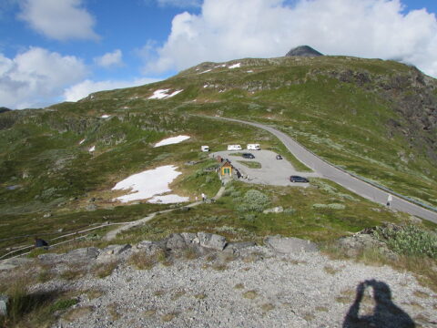
Norwegian Scenic Route Sognefjellet runs from Lom to Gaupne, a total distance of 108 km (Road 55).
View more
Allmannajuvet ("common-man's-gorge") is a preserved zinc mine museum near Sauda that was operational for 18 years between 1881 and 1899.
View more
On top of Aurlandsfjellet mountains, Vedahaugane is a viewpoint and art installation along the Norwegian Scenic Route Aurlandsfjellet.
View more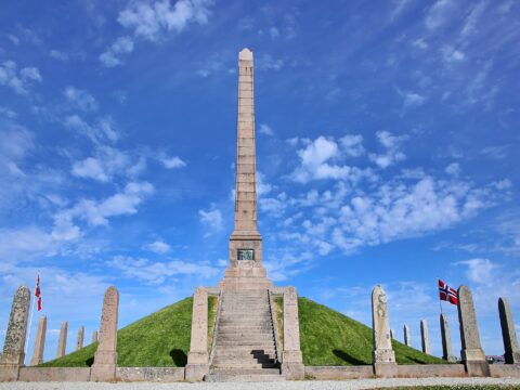
Haraldshaugen is a national monument at Gard, located on King Harald Hairfair's burial mound just outside Haugesund city centre.
View more