Address
Alvdal
GPS
62.165864384776, 10.706232328534
4 users have saved this item in their Bucket list.
You can also make your own list.
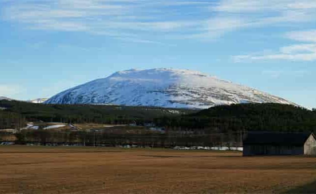
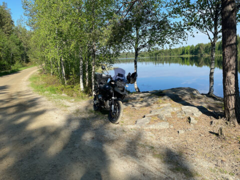
Tronfjellveien is the second-highest vehicle road in Norway (1665 M ASL). It brings you to the mountain top of Tron in Alvdal in norther part of East Norway. From north and south, you can see Tronfjellet from road 3 which is passing right by it. You can also drive to the top if you i.e., is following the Trans Euro Trail (TET) section 2.
Tronfjellveien closes during winter. Check the opening times on their official Facebook page.
The mountaintop of Tron is not higher than 1665 meters, and it is the 904th highest mountain in Norway. But it has no other mountains close to it, so the 360 degree view is quite spectacular.
Tronfjellveien built in a month
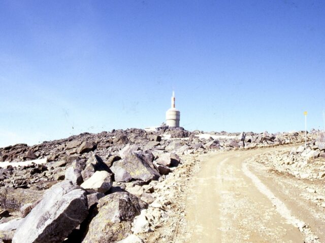
The gravel road to the top is a 10 km long toll road. The brothers Ottar and Ingvald Gjermundshaug from Alvdal built it in 1959 – according to local history, in only one month. The road was built to construct a radio and TV mast on top of it.
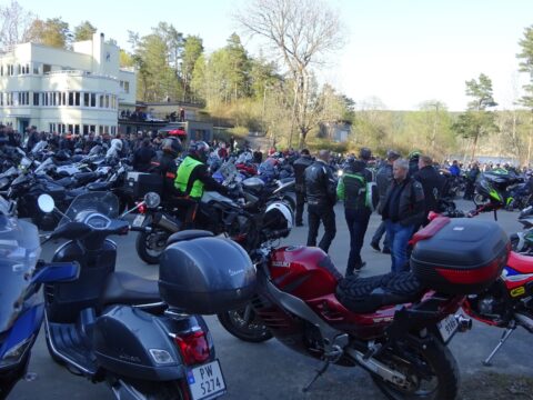
The road opened for public use in 2018 and is today maintained by Tronfjellet Opplevelser – mostly as a tourist road. You can actually go up there by bus. But that shouldn’t stop you from going there by motorcycle! It’s a great trip, and the road and surroundings are really photogenic.
Peace Centre
The Indian philosopher Swami Sri Ananda Acharya lived most of her life on Tron. She planned to build a Peace University on Flat-tron – a plateau on the mountain. Alvdal municipality has set aside an 875-decare area on Flattronden. The idea is to regulate the area for a peace centre, tourist purposes and catering. There is also plans for sports facilities and hang gliding activities, as well as outdoor life, and as of 2010, the start of planning work was announced.
ALVDAL WEATHER
YouTube: Ole Bredesen-Vestby
