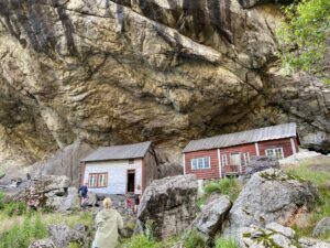
Perhaps you have seen them in a photograph, a tourist brochure or in a magazine – the two small houses beneath Helleren in Jøssingfjord.
View more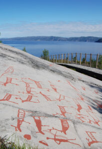
The UNESCO Rock Art Centre – Alta Museum is situated in Alta in Finnmark. 6000 carvings are documented – the oldest 7000 years old.
View more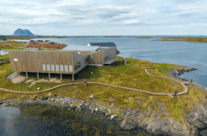
Vega islands were UNESCO listed in 2004 and is a tribute to generations of farmers and fisherman's way of living through the last 1500 years.
View more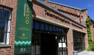
The Rjukan – Notodden Industrial Heritage Site is a UNESCO site created to protect the industrial landscapes in and around the two towns.
View more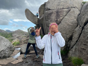
The 'Troll's Dick' (Trollpikken) is a place it's difficult to talk about without giggling – and it is even UNESCO listed…
View more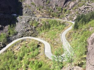
In the southern part of Norway, between Flekkefjord and Stavanger, there are 46 geological and cultural locations for you to explore!
View more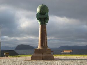
Struve's Geodetic Arc and the last column in Hammerfest was used for the massive task to measure the exact size and shape of planet earth!
View more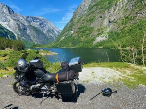
The Nærøy fjord (Nærøyfjorden) is one of the most narrow fjords in the world. Together with Geiranger fjord, Nærøy is UNESCO-listed.
View more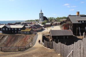
Røros is one of two Norwegian town designed for mining. The old, unique wooden buildings from the 17th century is now UNESCO listed.
View more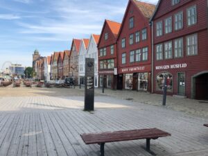
Bryggen consists of a series of Hanseatic heritage commercial buildings on the east side of the harbour in Bergen. UNESCO listed since 1979.
View more