Francesco Bandarin, CC BY-SA 3.0 IGO, via Wikimedia Commons
Address
Meridiangata 10, 9600 Hammerfest
GPS
70.669972783574, 23.663604062427
1 users have saved this item in their Bucket list.
You can also make your own list.
Have you heard about the Russian astronomer and geodetic mathematician Friedrich Georg Wilhelm Struve (1793 – 1864)? He is unfortunately not as famous as he deserves to be be… For 39 years – between 1816 and 1855 – he led the massive task to measure the exact size and shape of the planet earth!
325 locations in 10 countries
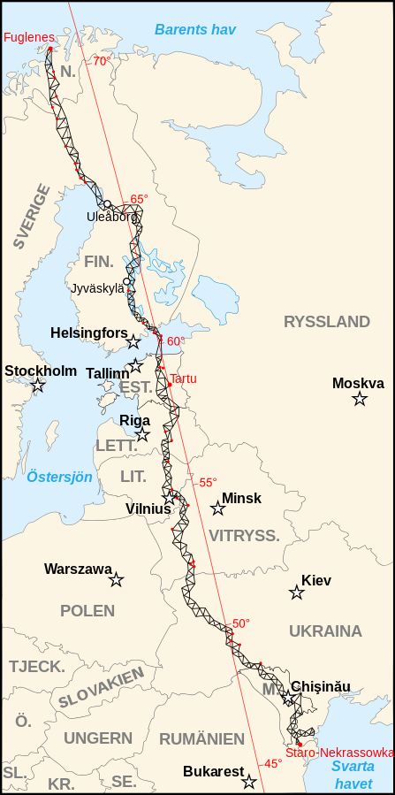
To make his calculations along the meridian, he was deploying a chain of triangular shapes with sides between 20 to 40 km. This was done over a 2822 km long stretch from the Black Sea to Hammerfest in Norther Norway. The measurements was carried out at 265 main locations and 60 sub-locations. His arch – or chain of triangles stretches across 10 countries: Norway, Sweden, Finland, Russia, Estonia, Latvia, Lithuania, Belarus, Moldavia and the Ukraine.
When Struve started his work, it was the first international scientific cooperation organised at national level in world history. Behind it was the governments of Russia, Norway and Sweden.
Spot on
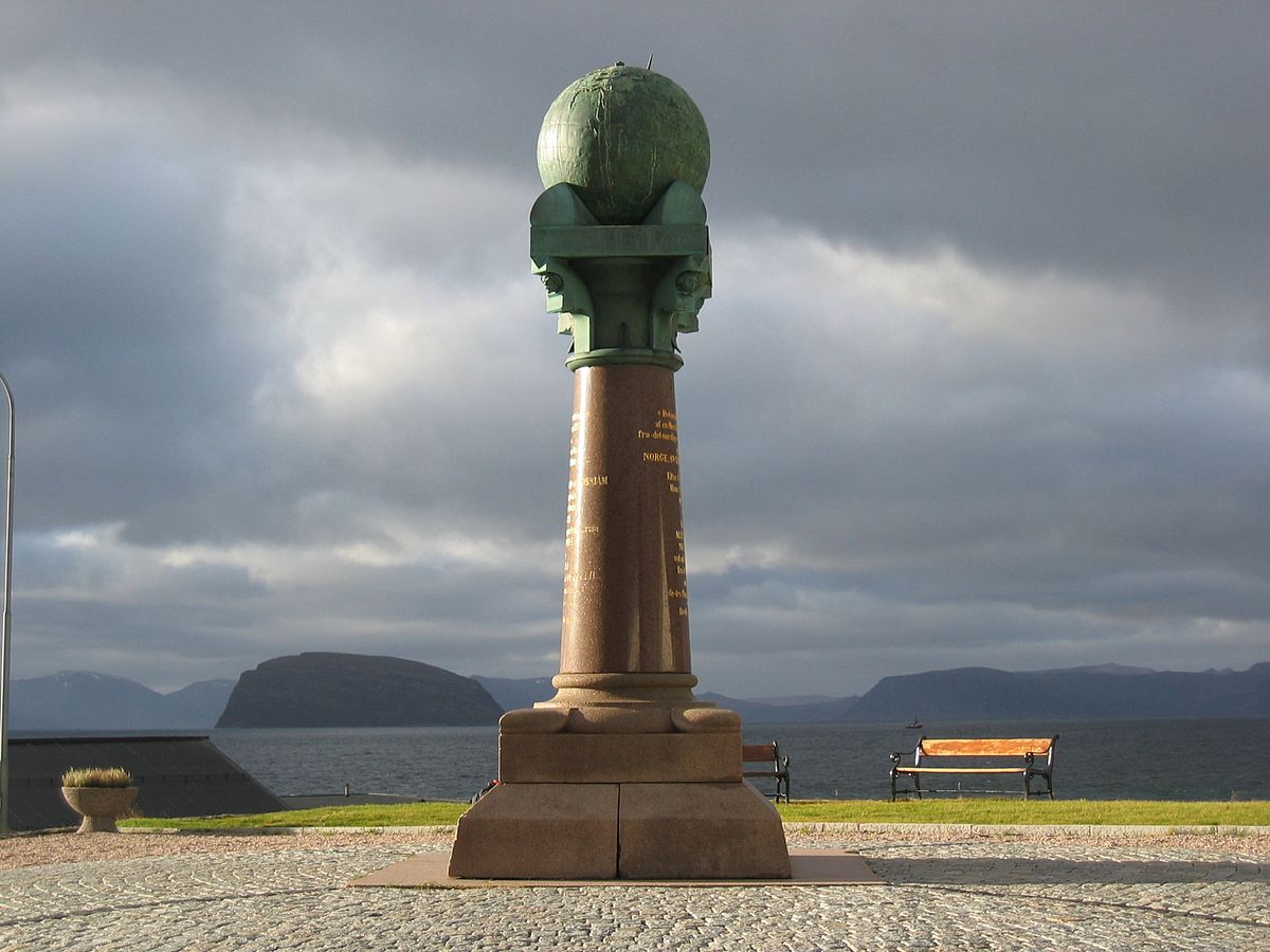
To call Struve and his teams effort anything else than a huge success would not be fair. Over the 39 years the work was carried out, the surveyors were traveling by foot between the measure points. In 1855, they calculated earths radius at equator to be 6,378,361 meters. This is only 224 meters more than our modern worlds advanced techniques and tools have concluded the radius to be!! Nothing less than impressive!
UNESCO listed in 2005
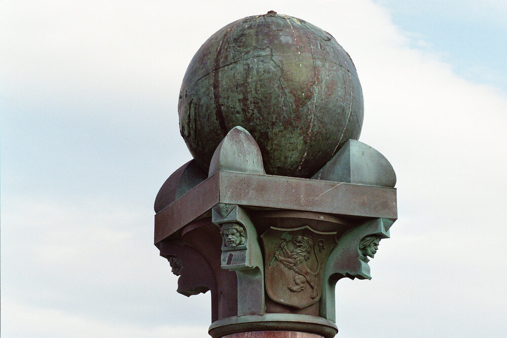
In 2005 Struve’s Geodetic Arc became the first technical/scientific undertaking to be entered on the UNESCO World Heritage List. Of the total of 325 locations that were used for measurement, only 34 points are still intact and now protected by UNESCO. 4 of these locations are in Norway;
- The final point on the meridian column in Hammerfest.
- The top of the mountain, Lille-Raipas (Una Raipasas) in Alta.
- The top of the mountain, Luvddiidcohkka (Lodhiken) in Kautokeino.
- The top of the mountain, Bealjasvarri/Muvravarri in Kautokeino.
In the area
If you decide to head north, also make sure to check out the rock carvings at Alta museum – also UNESCO listed. Maybe check out the Trans Euro Trail (TET) section 3 if you are into adventure riding and going towards the North Cape. Or the two Scenic Routes Havøysund and Varanger.
Other locations in this part of Norway:
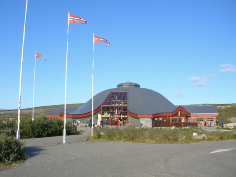
The Arctic Circle Center is a tourist center located on Saltfjellet in Nordland county.
View more
Norwegian Scenic Route Helgelandskysten runs from Holm to Godøystraumen (Road 17) with detours to Torghatten.
View more
Norwegian Scenic Route Lofoten runs from Å to Raftsundet (E10) with detours to Nusfjord, Vikten, Utakleiv, Unstad, Eggum and Henningsvær.
View more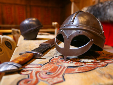
At Borg in Lofoten, a farmer discovered the largest Viking longhouse ever found and excavated. Make a stop at Lofotr Viking Museum.
View more
Treriksrøysa is a three-country cairn, marking the meeting point of the boarders between Norway, Sweden, and Finland.
View more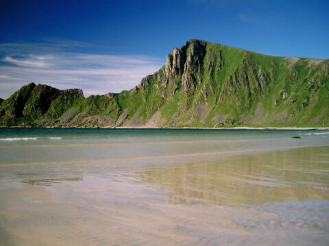
Norwegian Scenic Route Andøya runs along the outer edge of Andøya between Bjørnskinn and Andenes, a total distance of 58 km.
View more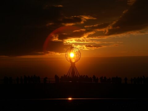
The North Cape (Nordkapp) – for many riders the holy grail when it comes to bucket list items. But is it the northernmost point in Norway?
View more
Norwegian Scenic Route Senja runs from Gryllefjord to Botnhamn, with short detours to Mefjordvær and Husøy. The route is 102 km long.
View more