Address
Holm to Godøystraumen (Road 17)
GPS
65.182825091539, 12.113491800166
8 users have saved this item in their Bucket list.
You can also make your own list.
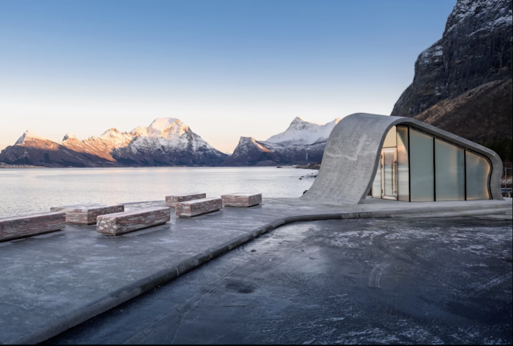
Norwegian Scenic Route Helgelandskysten (Road 17) runs from Holm to Godøystraumen with detours to Torghatten (Roads 76, 778 and 7234). This is a total distance of 434 km. There are several connections with Euroroute 6 so it is easy to switch between them.
Helgelandskysten is the longest of the 18 Norwegian Scenic Routes. The six ferry trips and the contrasts the route presents mean that you must set aside plenty of time for the drive.
Going from Jektvik to Kilboghamn you cross the Arctic Circle at 66 degrees northern latitude. On this journey you will also encounter many other unique natural phenomena.
Saltstraumen is the world’s largest tidal maelstrom while Svartisen is Norway’s second largest glacier. You can also marvel at the hole through the Torghatten peak.
The road follows the coast but its character changes underway from the long line of peaks in the north to the fjords, mountains and islands in the south. Even in the fertile cultivated landscape to the south, the proximity to the sea is essential to the experience.
Keep in mind that you can also see the midnight sun south of the polar circle, even though it just barely dips into the sea.
The Vega Island features on UNESCO’s World Heritage list, but you can also pick another of the thousands of islands where you can experience something equally special. Four hundred kilometres of natural and cultural experiences will have an impact on you!
Source: nasjonaleturistveger.no
Check out on this route:
- Torghatten
- Saltstraumen
- Svartisen
- Vega
Other locations in this part of Norway:
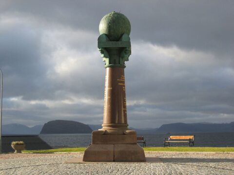
Struve's Geodetic Arc and the last column in Hammerfest was used for the massive task to measure the exact size and shape of planet earth!
View more
Norwegian Scenic Route Havøysund runs from Kokelv to Havøysund, a total distance of 67 km (Road 889).
View more
Norwegian Scenic Route Senja runs from Gryllefjord to Botnhamn, with short detours to Mefjordvær and Husøy. The route is 102 km long.
View more
One of the most famost spots for a photoshoot in Lofoten. Located at Toppøya on road E10 – with a view towards Hamnøy.
View more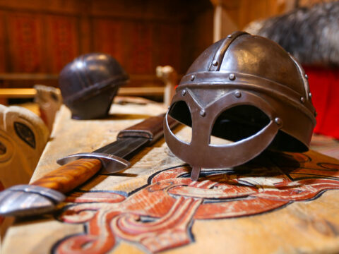
At Borg in Lofoten, a farmer discovered the largest Viking longhouse ever found and excavated. Make a stop at Lofotr Viking Museum.
View more
Norwegian Scenic Route Varanger runs from Varangerbotn to Hamningberg, a total distance of 160 km.
View more
Treriksrøysa is a three-country cairn, marking the meeting point of the boarders between Norway, Sweden, and Finland.
View more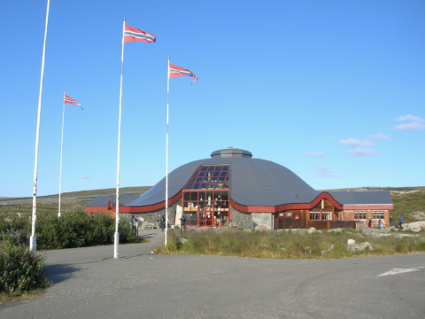
The Arctic Circle Center is a tourist center located on Saltfjellet in Nordland county.
View more