Rolf Palmberg, CC BY-SA 3.0, via Wikimedia Commons
Address
Kilpisjärvi, Finland
GPS
69.059966, 20.548768
3 users have saved this item in their Bucket list.
You can also make your own list.
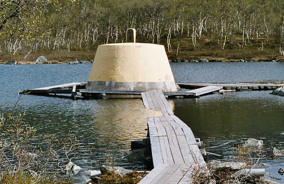
Treriksrøysa is a three-country cairn in Troms and Finmark county. It marks the meeting point of the boarders between Norway, Sweden, and Finland.
In Norway, we have two of these three-country cairns. This one between Norway, Sweden and Findland, and one between Norway, Finland and Russia. However, the one between Norway, Finland, and Russia is heavily guarded on Norwegian and Russian side. This makes it unavailable for hikers. The one between Norway, Sweden, and Finland is located slightly further north, making it the World’s northernmost three-country cairn!
The shortest hike to Treriksrøysa is from the Finnish side near Kilpisjärvi. The parking along road E8 is clearly marked, and is easy to find. The hike is 22 km in total, but it is rated ‘demanding’, so you should expect to spend 5-7 hours in total.
Alternatively, in the summer months you can go by boat from Kilpisjärvi. This is reducing the hike to a 20 minutes walk to the cairn. Read more about the boat trip here.
The cairn is also reachable from the Norwegian side in Signaldalen. The trail is marked, but is longer, so you should include a sleepover at the unmanned DNT cabins Gappohytta or Goldahytta. This hike is approx. 30 km and is considered challenging. The Goldahytta is just a short stroll from Treriksrøysa.
The cairn is made of concrete and is located in the lake at the actual meeting point of the boarders. A wooden bridge brings you out to the cairn, where you can run freely between the three countries.
Other locations in this part of Norway:
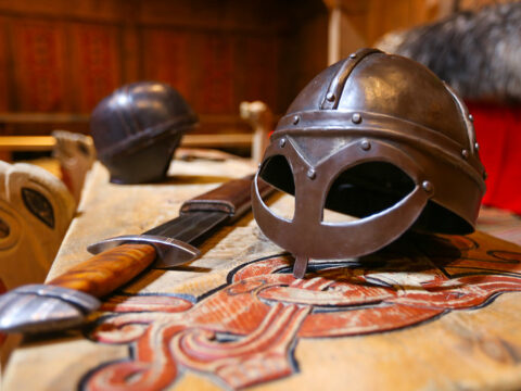
At Borg in Lofoten, a farmer discovered the largest Viking longhouse ever found and excavated. Make a stop at Lofotr Viking Museum.
View more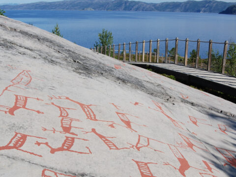
The UNESCO Rock Art Centre – Alta Museum is situated in Alta in Finnmark. 6000 carvings are documented – the oldest 7000 years old.
View more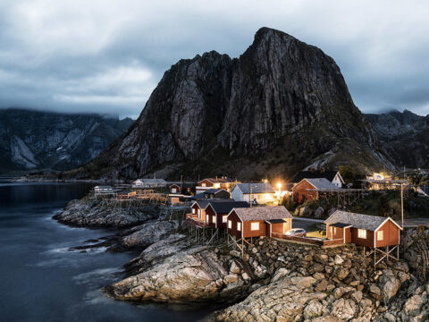
Norwegian Scenic Route Lofoten runs from Å to Raftsundet (E10) with detours to Nusfjord, Vikten, Utakleiv, Unstad, Eggum and Henningsvær.
View more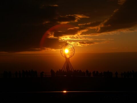
The North Cape (Nordkapp) – for many riders the holy grail when it comes to bucket list items. But is it the northernmost point in Norway?
View more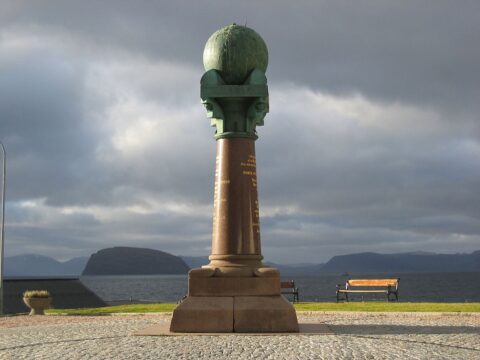
Struve's Geodetic Arc and the last column in Hammerfest was used for the massive task to measure the exact size and shape of planet earth!
View more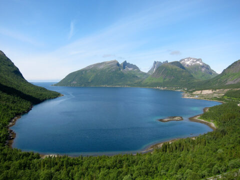
Norwegian Scenic Route Senja runs from Gryllefjord to Botnhamn, with short detours to Mefjordvær and Husøy. The route is 102 km long.
View more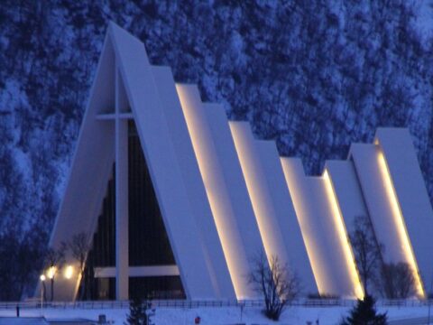
Tromsdalen Church, also known as Ishavskatedralen (The Arctic Cathedral) was dedicated on November 19, 1965.
View more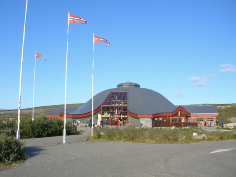
The Arctic Circle Center is a tourist center located on Saltfjellet in Nordland county.
View more