
Photo: Øyvind Solstad, Flickr.com
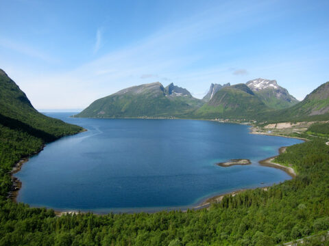
Norwegian Scenic Route Andøya runs along the outer edge of Andøya between Bjørnskinn and Andenes, a total distance of 58 km (Road 7698/7702/82).
In the summer season there is a ferry between Andenes and Gryllefjord linking the Andøya and Senja scenic routes. Together with Senja, Andøya is an outer alternative to Euroroute 6 and the Hurtigruten coastal express.
About Andøya
On the island of Andøya you can wander along some of Norway’s most beautiful beaches and look out over the still waters of the ocean with the midnight sun as your sole companion. This is a trip that is designed for enjoyment. The road itself follows a broad shelf of cultivated land where people have put down roots between the wide ocean and the jagged peaks. If you’re lucky you might see seals, whales and eagles from your car window.
In the late summer you can try tasting wonderful cloudberries on the moorland that stretches towards the mountains, or earlier in the summer you can visit the bird cliff on the island of Bleiksøya. The Gulf Stream makes for a hospitable climate and turns the ocean into an abundant source of food for a rich variety of bird and animal life.
The military Andøya Air Station is located next to Andenes. It is the home of the 333rd Squadron of the Royal Norwegian Air Force and houses all P-3 Orion maritime patrol aircraft in the Norwegian Armed Forces. Andøya Rocket Range is a civilian facility for launching sounding rockets, located a few kilometres south of Andenes.
Other locations in this part of Norway:
Norwegian Scenic Route Senja runs from Gryllefjord to Botnhamn, with short detours to Mefjordvær and Husøy. The route is 102 km long.
View more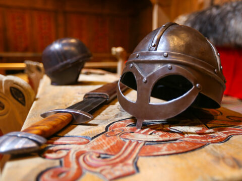
At Borg in Lofoten, a farmer discovered the largest Viking longhouse ever found and excavated. Make a stop at Lofotr Viking Museum.
View more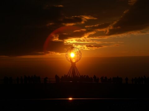
The North Cape (Nordkapp) – for many riders the holy grail when it comes to bucket list items. But is it the northernmost point in Norway?
View more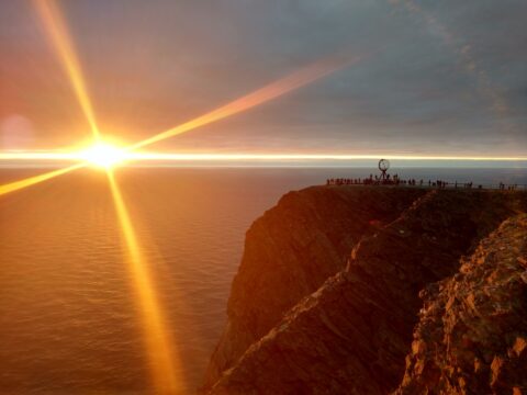
The Trans Euro Trail — or just TET for short — is all adventure riders and dirt road travelers dream. This is TET Norway section 3.
View more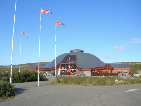
The Arctic Circle Center is a tourist center located on Saltfjellet in Nordland county.
View more
Treriksrøysa is a three-country cairn, marking the meeting point of the boarders between Norway, Sweden, and Finland.
View more
Norwegian Scenic Route Helgelandskysten runs from Holm to Godøystraumen (Road 17) with detours to Torghatten.
View more
Norwegian Scenic Route Havøysund runs from Kokelv to Havøysund, a total distance of 67 km (Road 889).
View more