Address
Haraldshaugen, Haugesund
GPS
59.4289524183, 5.2589903541909
Telephone
0 users have saved this item in their Bucket list.
You can also make your own list.
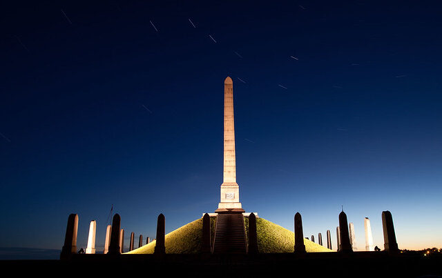
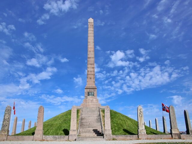
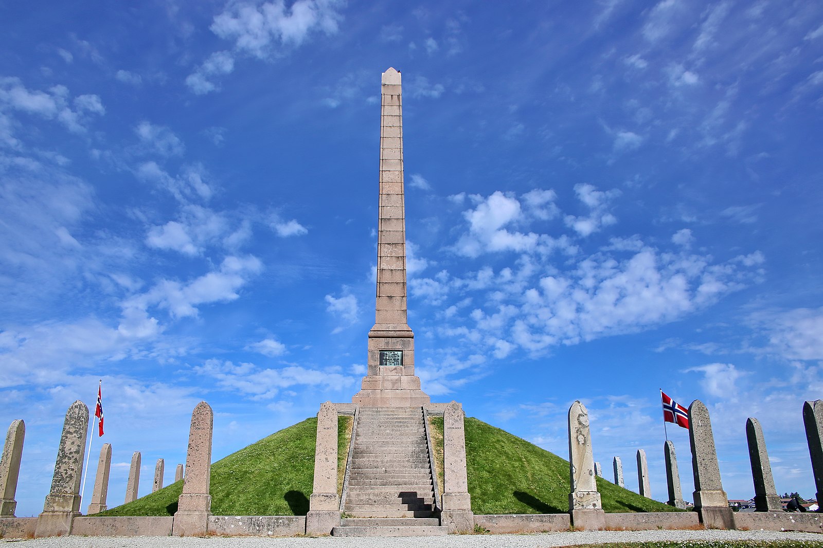
Haraldshaugen is a national monument at Gard, about 2 km north of Haugesund city centre. The monument was erected during the millennial celebration of Norway’s unification into one kingdom under the rule of King Harald Hårfagre (Harald Fairhair). Even if he actually only unified the western parts of Norway. It is said that Harald Hairfair is put to rest in this burial mound after his death around year 933.
Harald had several royal estates at Vestlandet, but the most important one is Avaldsnes. Here he and his descendants had the royal seat for more than 500 years.
The monument on top of Haraldshaugen is Harald column. A 17 meters high Granite obelisk – surrounded by a fence of 29 smaller stones – representing the historic counties of Norway. It was unveiled on July 18, 1872 by Crown Prince Oscar (later King Oscar II of Sweden). The designer was the Norwegian architect Christian Christie.

Article written by:
FiGu
Other locations in this part of Norway:
Scenic Route Jæren runs from Ogna to Bore, a total of 41 km (Road 44/507). Make some detours to visit beaches, lighthouses, and ports.
View moreNorangsdalen is one of my favorites. Stunning to ride through! Beautiful summer mountain pastures, Lyngstøylsvatnet and Hotell Union Øye.
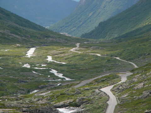
View moreThe steep, narrow bends on high foundation walls have made Vindhellavegen from the 1840s famous.
View moreNorwegian Scenic Route Hardangervidda runs from Eidfjord to Haugastøl, a total distance of 67 km (Road 7). This route is open throughout the year.
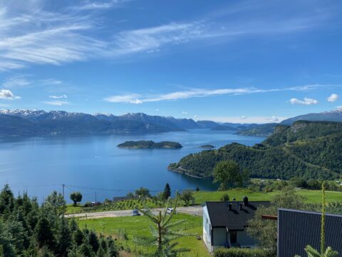
View moreScenic Route Hardanger consists of 4 stretches and has a total length of 165 km. Try to come spring/early summer when the fruit is blooming.
View moreOverlooking the Lustrafjord, Urnes stave church in Luster is among the oldest stave church in Norway. UNESCO listed in 1979.
View moreNorwegian Scenic Route Sognefjellet runs from Lom to Gaupne, a total distance of 108 km (Road 55).
View moreScenic Route Jæren runs from Ogna to Bore, a total of 41 km (Road 44/507). Make some detours to visit beaches, lighthouses, and ports.
View moreNorangsdalen is one of my favorites. Stunning to ride through! Beautiful summer mountain pastures, Lyngstøylsvatnet and Hotell Union Øye.
View moreThe steep, narrow bends on high foundation walls have made Vindhellavegen from the 1840s famous.
View moreNorwegian Scenic Route Hardangervidda runs from Eidfjord to Haugastøl, a total distance of 67 km (Road 7). This route is open throughout the year.
View more