
Address
Torghatten
Web
0 users have saved this item in their Bucket list.
You can also make your own list.
Trollfjell Geopark along the coast in Mid-Norway, covers an area of 10,082 km2. Approx. 70 % is sea and 30 % land. The area as a whole has more than 12,000 islands. In the center of it all, you’ll find the famous mountain with a hole in it; Torghatten.
The park sits in the counties of Nordland and Trøndelag and covers six municipalities: Brønnøy, Vega, Vevelstad, Sømna, Bindal (all Nordland) and Leka (Trøndelag).
Why unique?
A Geopark status does not imply protection, and an important task of a geopark is to promote tourist attractions and sustainable economic activity to the advantage of tourists and local people.
The geopark aims to provide worldclass activities and thrills based on the unique geological history and localities in the area.
What is a UNESCO Geo Park?
A Geo park is an area with a special geological natural heritage of international importance where the focus is on sustainable development, site development, dissemination of knowledge and Geo-tourism. In a Geo park, one must show how the geological conditions are the background for how the landscape came to be, the biological diversity and human settlement.
THE STORY OF EARTH’S EVOLUTION
Geology is concerned with the formation of planet Earth, of former oceans, drifting continents and the creation and erosion of mountain ranges. In Trollfjell Geopark, geological features reveal exciting events in the geological history of the region. The bedrock displays evidence of an ocean that existed about 600-400 million years ago – the Iapetus Ocean. We can see how it first expanded and then shrank until the continents on either side collided creating a huge mountain range, which in turn was worn down by erosion. The Quaternary geology tells us about ice ages, the movement of glaciers and how the land formerly weighed down by ice is rising from the sea.
The bedrock diversity in Trollfjell Geopark is the basis for biological diversity. Some bedrock is poor in nutrients, resulting in barren mountains, whereas in other areas the bedrock forms nutrient-rich soils that support lush vegetation. Calcareous bedrock results in karst and caves.
On the island Leka, you can – in broad daylight – witness the ocean bottom created 500 million years ago when America ‘crashed’ with Europe.
Much to see
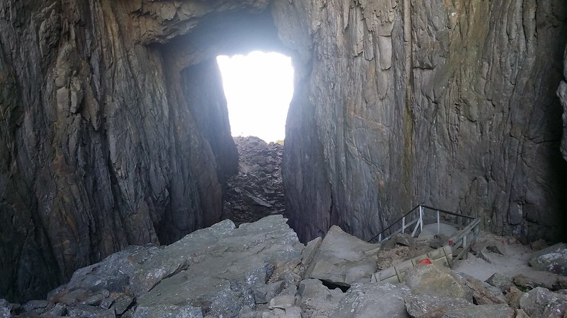
Torghatten, the most famous mountain in the park, has a whole through it. It has been dug out by water and ice in the softer parts of the mountain over the years. The whole is 160 meters long, 35 meters high and 20 meters wide.
The Vega islands are also part of the park, and Vega is unique enough to have its own UNESCO listing! The listing of Vega is a tribute to generations of farmer’s and fisherman’s sustainable way of living a. And also to the women which were tending and collecting eider down and eggs while the men went to sea.
The park consists of 46 different locations that all tell its part of the earth’s evolution. The bedrock diversity in Trollfjell Geopark is the basis for biological diversity.
Check out Trollfjell Geopark’s website for detailed information.
Other locations in this part of Norway:
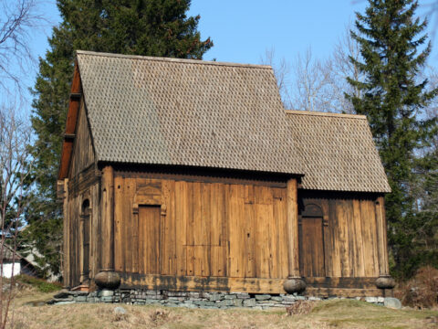
Haltdalen Stave Church was built in the 1170s in the village of Haltdalen, Trøndelag. Two twin churches – or replicas – are built.
View more
Vega islands were UNESCO listed in 2004 and is a tribute to generations of farmers and fisherman's way of living through the last 1500 years.
View more
Kvernes Stave Church from the 14th century is located at Averøy in Møre og Romsdal. The old church is among the smallest ever built.
View more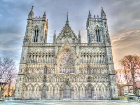
Nidarosdomen (Nidaros Cathedral) is the world’s northernmost medieval cathedral and Norway’s national sanctuary.
View more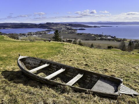
'The Golden Road' passes through beautiful Inderøy municipality in North-Trøndelag, with food, art and cultural experiences along the way.
View more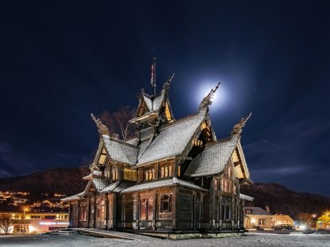
The Norway Building, or Thamspaviljongen, is a unique building – built as a stave church – with an equally unique history.
View more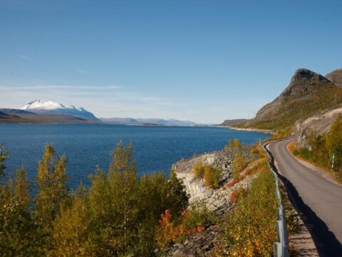
The 630 km long County Road 17 (Norwegian: Fylkesvei 17) is also known as the Coastal Highway (Norwegian: Kystriksveien)
View more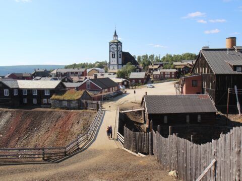
Røros is one of two Norwegian town designed for mining. The old, unique wooden buildings from the 17th century is now UNESCO listed.
View more