Photo: Finn-G. Frostad
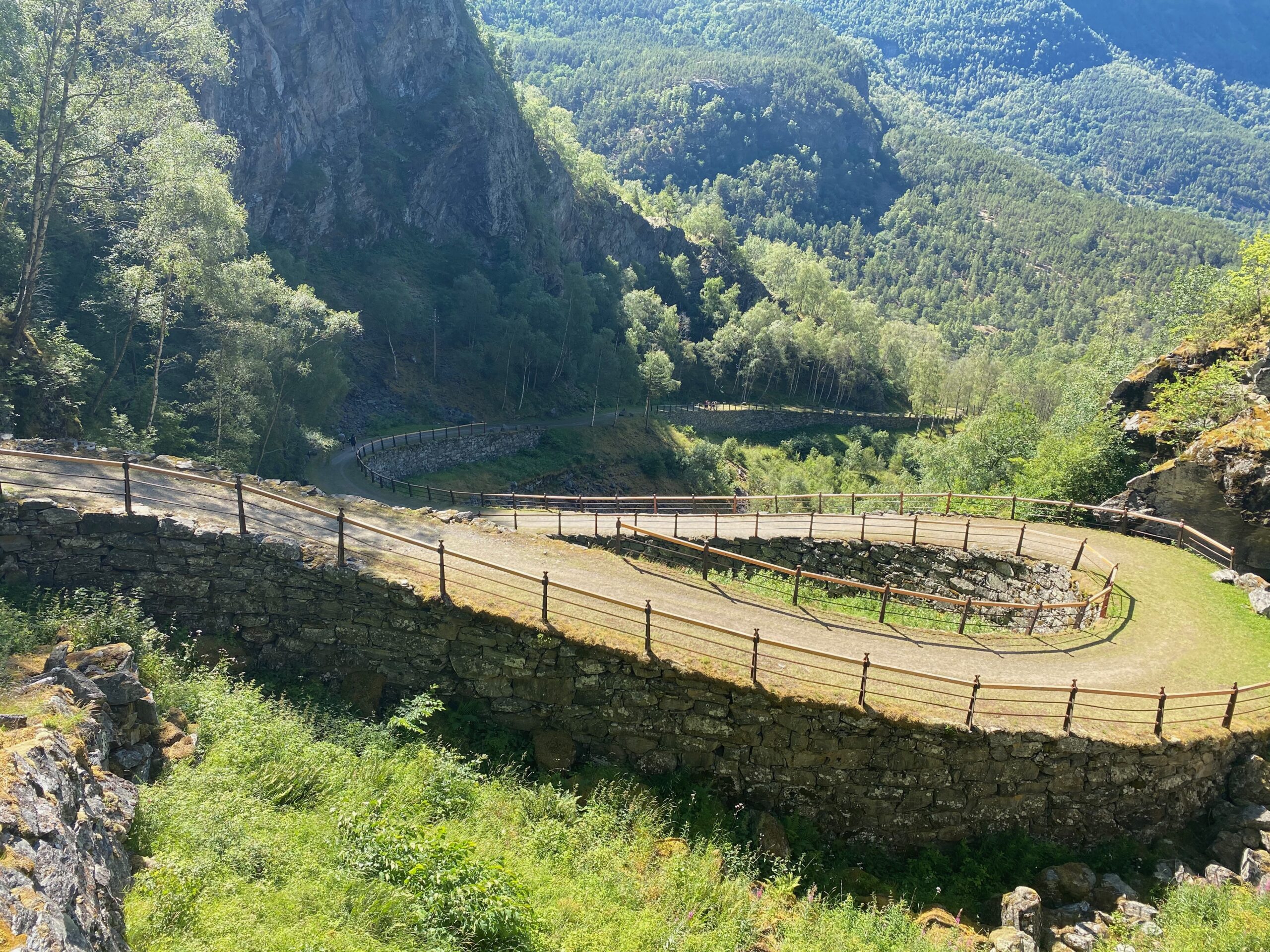
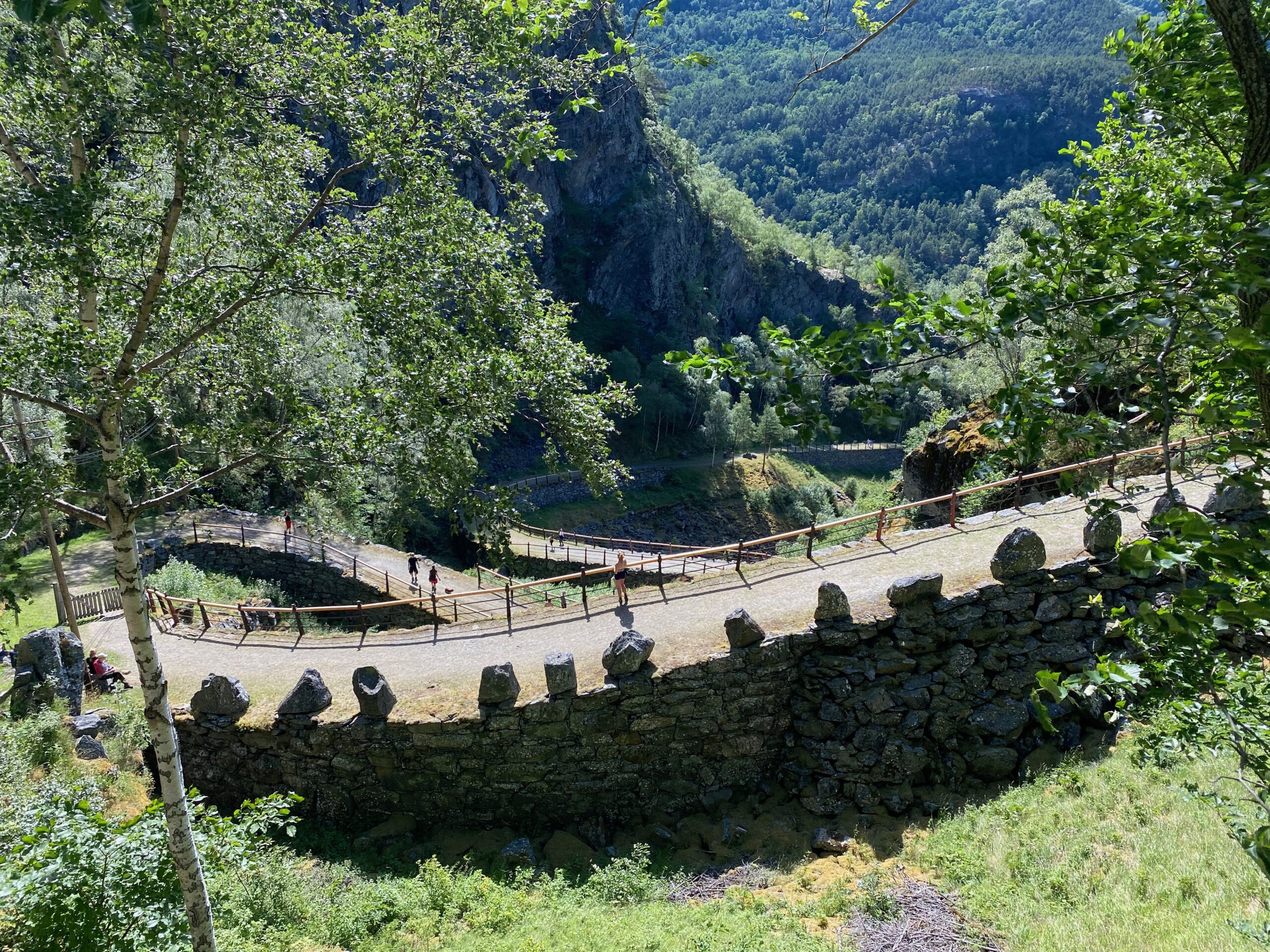
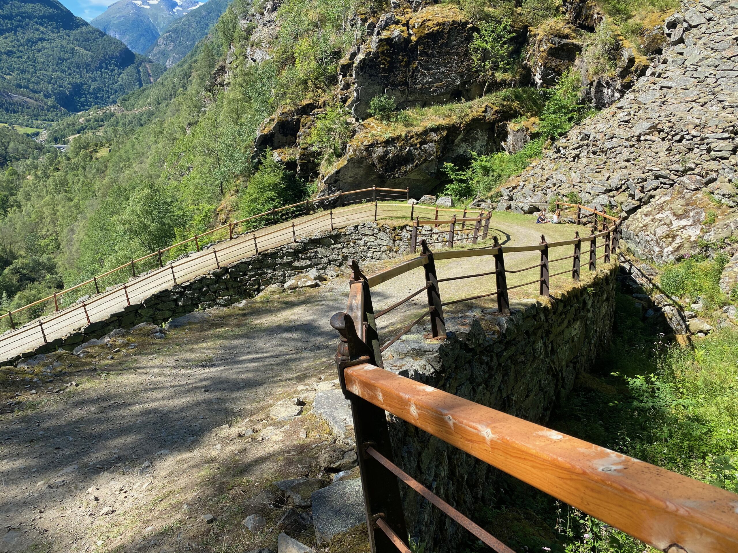
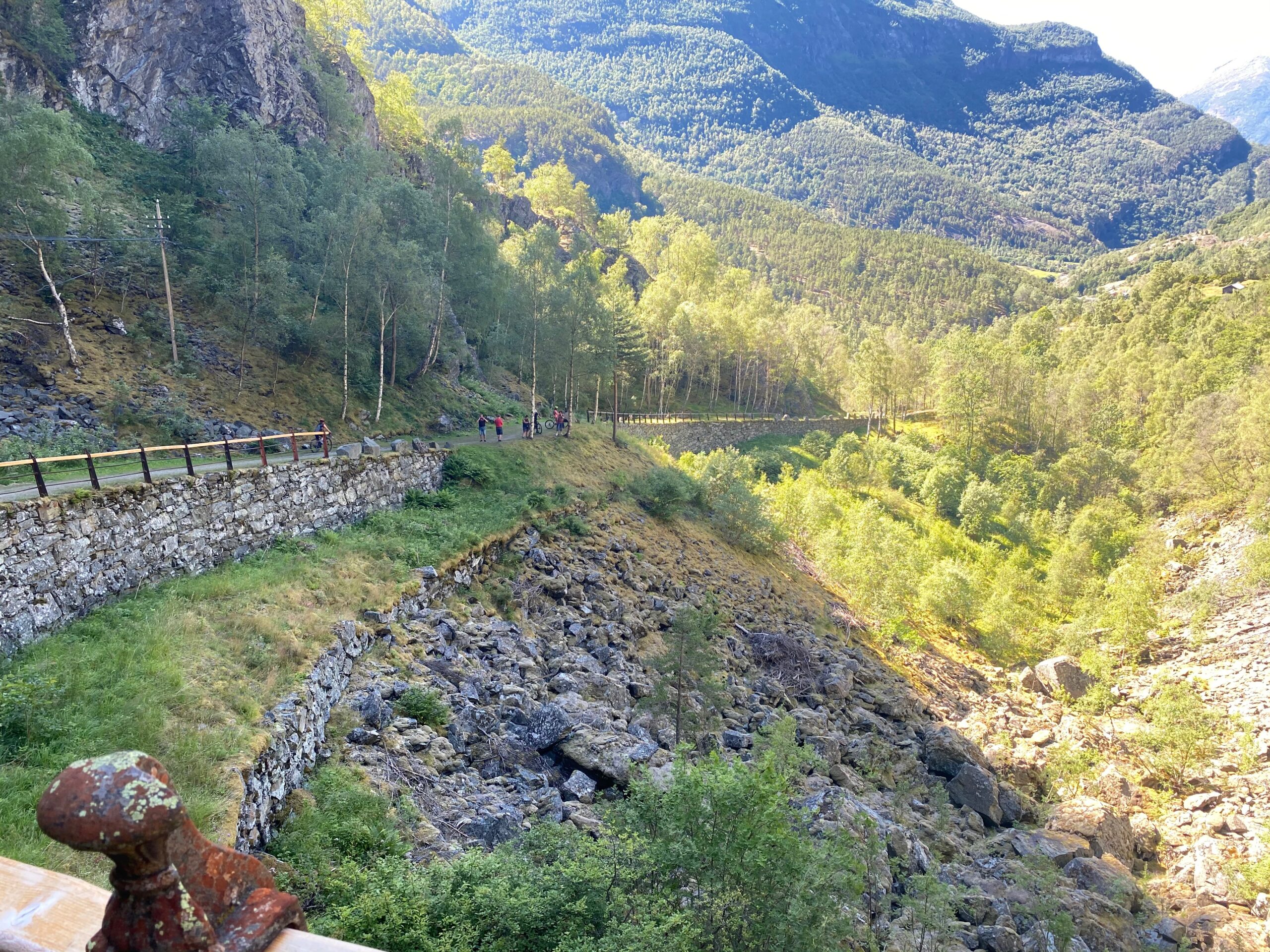
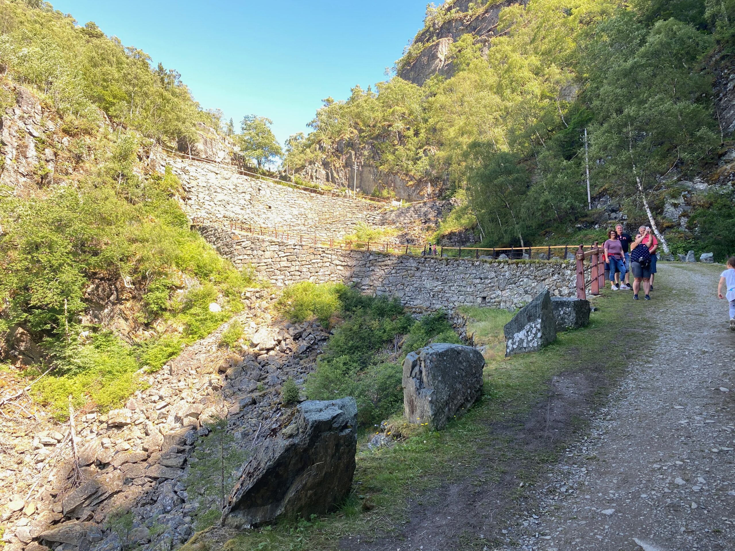
The steep, narrow bends on high foundation walls have made Vindhellavegen from the 1840s famous.
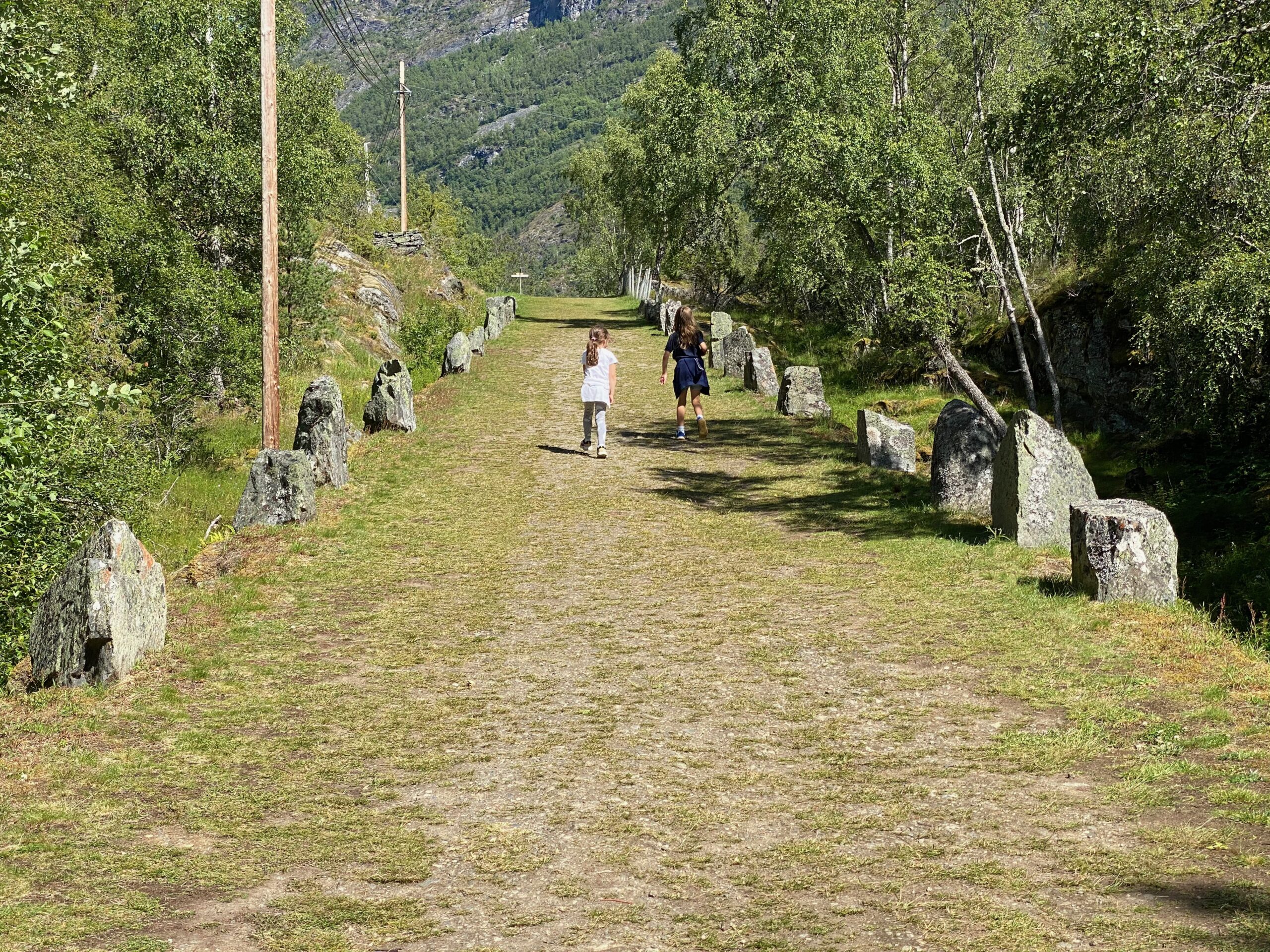
This short but impressive section called Vindhellavegen is part of the original King’s Road (Kongevegen) across Filefjell. If you walk west towards Lærdalsøyri, the stretch starts 300 m east of Borgund Stave Church. Alternatively, start by the stave church and walk behind the new, red church and up the hills (follow the signs). Another alternative is to park on the parking lot marked in the map (Rimskjold) and walk a few hundred meters up to the twisties. Here you will also find toilet facilities.
Rimskjold and the church area are both starting points for the round-trip Vindhella — Sverrestigen.
Steep road
The narrow Vindhella-pass above Borgund Stave Church, has always been used by travelers between east and west.
First as a bridle and pack horse track across extremely dangerous stretches (often narrow, steep mountain ledges), and then later as a postal route. It was not until King’s Road opened in the 1790s that the road was of the standard we can see today.
But the King’s Road was steep. The gradient was 1:4, and the descent could be a challenge with horse and cart — particularly in winter.
In the 1840s, the road authorities decided to do something. They built a new horse-and-cart road on high foundation walls through the Vindhella pass, and added a new bend in an attempt to reduce the gradient.
The road builders used new techniques that at the time had not been properly tested in Norway. It was built high up in the terrain, and had four 180 degree bends supported by high foundation walls.
Unsuccessful (?)
However, the gradient did not improve much, and was only reduced to 1:5. Therefore, the roads through Vindhella were, in reality, two unsuccessful projects — if we look at the gradient only.
The overall picture, however, is of course not that simple. Both the King’s Road from the 1790s, and its replacement, Bergenske Hovedvej, from the 1840s, were engineering masterpieces. They were of spectacular road design featuring high foundation walls, and are today perhaps Norway’s most beautiful road-related cultural heritage.
Some 30 years later, road builders started to use dynamite, and building roads became a lot ‘easier’. Now they blasted some rocks along the riverside and Vindhella ended in the shadow… If you zoom out a bit on the map, you can see the new road section following the river around Vindhella. This road is now road 630 and was the main road until it was replaced by E16 in more recent time.
BORGUND WEATHER


Other locations in this part of Norway:
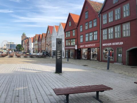
Bryggen consists of a series of Hanseatic heritage commercial buildings on the east side of the harbour in Bergen. UNESCO listed since 1979.
View more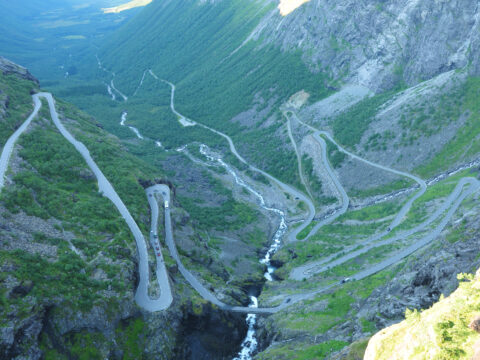
Norwegian Scenic Route Geiranger-Trollstigen runs from Langvatnet to Strynefjellet and Sogge Bru in Romsdalen, a total distance of 104 km (Road 63).
View more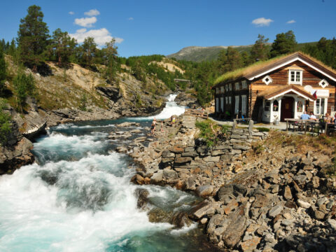
Billingen pension is a must if you're passing on road 15. You don't find anything more national romantic or 'Norwegian' than this place.
View more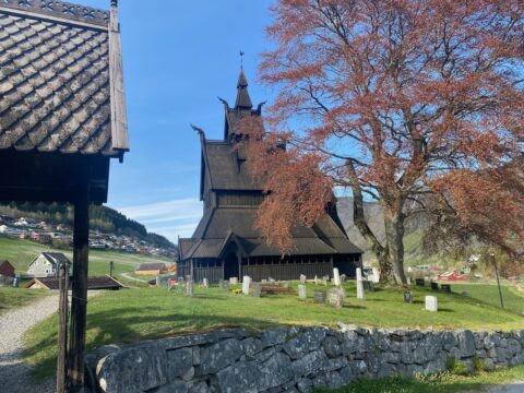
Hopperstad Stave Church (Hopperstad stavkirke) in Vikøyri in Vik, is together with Urnes stave church, the oldes stave church in Norway.
View more
24.5 kilometres; the Lærdal tunnel is the world's longest road tunnel. The road links Aurland and Lærdal, in the heart of Sogn.
View more
Scenic Route Jæren runs from Ogna to Bore, a total of 41 km (Road 44/507). Make some detours to visit beaches, lighthouses, and ports.
View more
Norwegian Scenic Route Sognefjellet runs from Lom to Gaupne, a total distance of 108 km (Road 55).
View more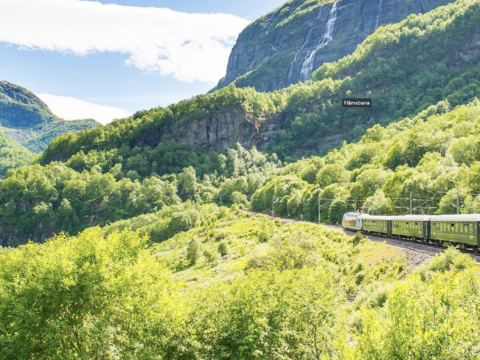
The Flåm railroad is 20.4 kilometers from Myrdal station to Flåm by the Aurlandsfjord.
View more