
Norwegian Scenic Route, Gaularfjell
Norwegian Scenic Route Gaularfjellet runs from Balestrand to Moskog and from Sande to Eldalsosen. The total distance is 114 km on Roads 55, 613 and 610. From Balestrand you can make beautiful detours. A boat trip that ends almost at the Jostadalsbreen glacier is a great way to experience the natural surroundings.
For most people Gaularfjellet is a well-kept secret, but for those who have discovered the road, it is quite special. The road runs along the fjord before snaking up towards the highest point of Gaularfjellet. At the rest area at Utsikten you can admire the panorama of a majestic view of a beautiful landscape where road 13 winds its way up the hillside. The road follows Gaularvassdraget, one of the few protected watercourses.
Cross the flexible bridge at Likholefossen waterfall provides a feeling of being into the mid of the swirling cascade.
Go fishing?
There are a number of easily accessible places along the road where you can stop and stretch your legs. Just admiring the nature or the spectacular view are as good reasons as any, But there are endless opportunities for fishing and hiking along the route.
Not crowded across Gaularfjellet
In 1853 a request was made for money to establish a road over the mountain, but almost 100 years would pass before this became a reality. The road quickly became a key transport route after its opening in 1938, but today it is a peaceful alternative since the main roads (road 5 and road E39) absorb most of the traffic.
Winter notice: The road over Gaularfjellet is closed during winter between Mel and Mjell. Normally from December till late April.

Other locations in this part of Norway:
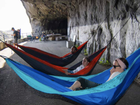
Tunnelstuo is a spectacular place to sleep in a former operative tunnel built in 1921.
View more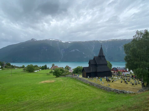
Overlooking the Lustrafjord, Urnes stave church in Luster is among the oldest stave church in Norway. UNESCO listed in 1979.
View more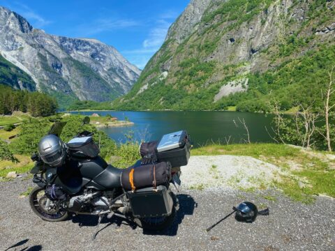
The Nærøy fjord (Nærøyfjorden) is one of the most narrow fjords in the world. Together with Geiranger fjord, Nærøy is UNESCO-listed.
View more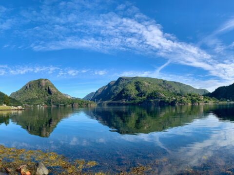
Scenic Route Ryfylke is 267 km long and travels between Oanes at Lysefjorden and Håra. From Lovra the tourist route splits in two sections.
View more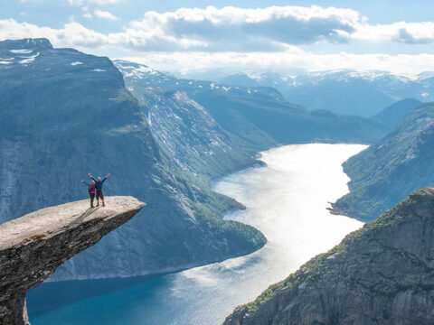
Trolltunga is a rock formation about 1,100 meters above sea level in Ullensvang Municipality in Vestland county. PS! NOT a Stop & Go location…
View more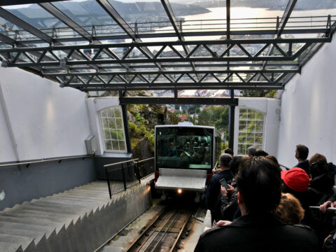
The Fløibanen funicular in Bergen is one of Norway’s best-known attractions and the only railway of its kind in the country.
View more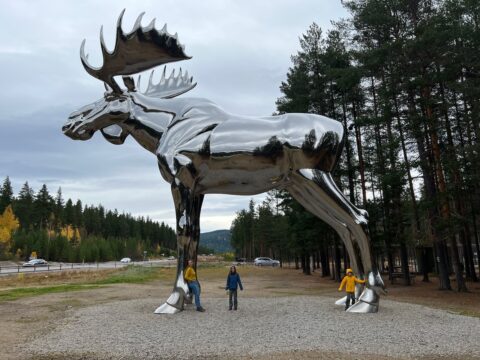
The Big Elk is the world's second-tallest sculpture of a moose. The statue is near the village of Atna in Stor-Elvdal, Hedmark, Norway.
View more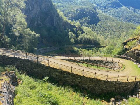
The steep, narrow bends on high foundation walls have made Vindhellavegen from the 1840s famous.
View more