
Suldal. Photo by Agent J on Unsplash
Address
Oanes – Håra
GPS
59.403638749928, 6.1999258965709
15 users have saved this item in their Bucket list.
You can also make your own list.
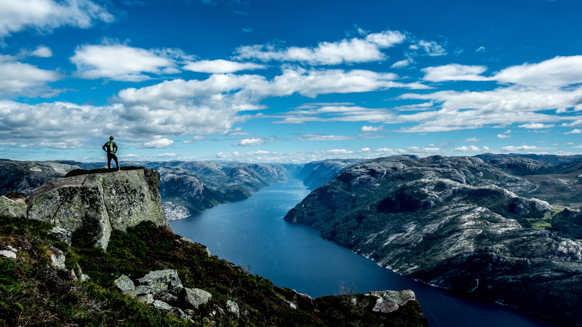
Norwegian Scenic Route Ryfylke is 267 km long and travels between Oanes at Lysefjorden and Håra. At the southern part of the stretch are two ferry crossings: Lauvik-Oanes and Hjelmeland-Nesvik. From Lovra in Suldal the tourist route splits into two sections.
One section travels across the Sandsfjord Bridge to Sauda (road 46/520) with a short detour to Ropeid. The other section continues north (road 13) with a small detour to Høse Bridge at Sand, before it continues up Suldalslågen and Brattlandsdalen where the road sections meet at Håra — creating a round trip. Sections of the road, particularly over the mountain to Røldal, are narrow with a number of bends, which makes it even more interesting for motorcyclists. This part is just fantastic on two wheels and one of my favorite roads in Norway!
If you would like more information about the ferries, you can check the timetable from Norled here.
Contrasts
The Scenic Route Ryfylke is said to be a road of contrasts. You will encounter steep mountain sides, deep fjords, high mountains and lush hillsides. In some sections, you might even wonder why they decided to build the road exactly there.
Make sure to stop at Svandalfossen and cross the bridge to feel the forces of the river and waterfall. Sometimes the water runs so high that the police must direct cars one at a time through the mist of spray that covers the road. It is quite an exotic experience — or a wet one if you are on two wheels.
Variation
All in all, Ryfylke offers not only a varied stretch of road, but also experiences along the way. You can go salmon fishing safari, do rafting, visit Allmannajuvet zink mines or the sweet little village Sand. You can also stop and study the industry history in Sauda and realize how energy demanding industries have shaped the development of both infra- and social structure in these remote places. Industry is also the reason for the location of the road over Saudafjellet. This became the shortest and fastest road towards the East.
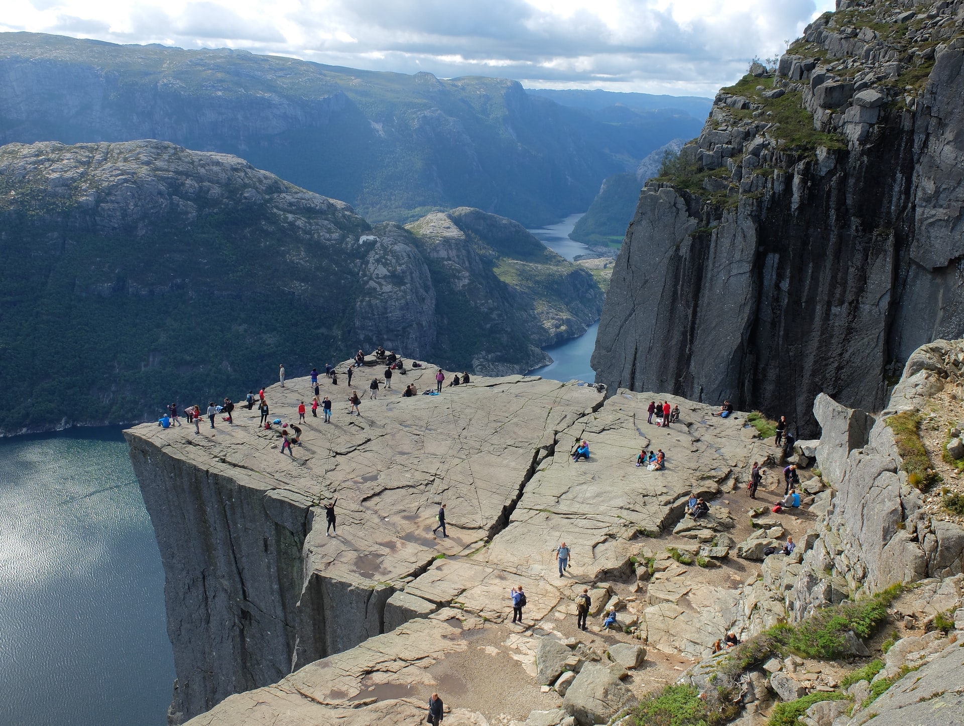
Worth being aware of, is the proximity to other great locations when you are in this area. In Lysefjorden, Kjæragbolten (Kjærag boulder) and Prekestolen (pulpit rock), are great hiking destinations, but you will need time to hike there. Also near Sauda, Sherpas from Nepal have built solid stone steps to facilitate the walk to Hovlandsnuten.
Winter notice: The road from Helandsbygd to Røldal is normally closed in the winter in November and reopens in June.
Check out on this route:

Other locations in this part of Norway:
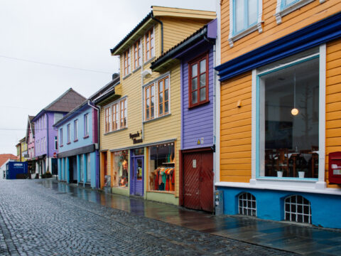
Øvre Holmegate is a unique street called 'Fargegata'/The Street of Colors. Not without a reason. This is the most colorful street in Norway.
View more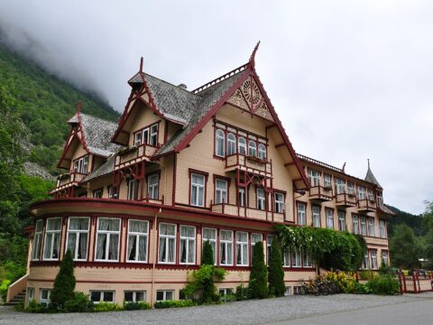
In Øye, you'll find a hotel gem from the olden times, when travelling meant introspective discovery and hiking adventures in tweed.
View more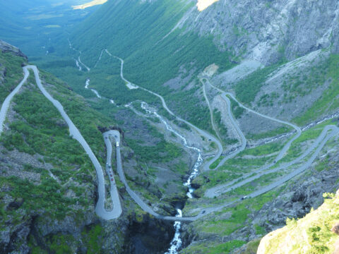
Norwegian Scenic Route Geiranger-Trollstigen runs from Langvatnet to Strynefjellet and Sogge Bru in Romsdalen, a total distance of 104 km (Road 63).
View more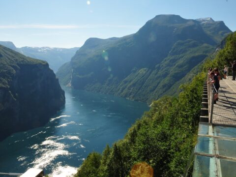
The UNESCO-protected Geirangerfjord is surrounded by majestic, snow-covered mountain peaks and wild waterfalls.
View more
24.5 kilometres; the Lærdal tunnel is the world's longest road tunnel. The road links Aurland and Lærdal, in the heart of Sogn.
View more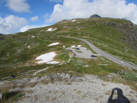
Norwegian Scenic Route Sognefjellet runs from Lom to Gaupne, a total distance of 108 km (Road 55).
View more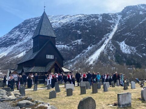
Røldal stave church was one of the most important pilgrimage destination because it is said that the church crucifix has healing properties.
View more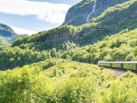
The Flåm railroad is 20.4 kilometers from Myrdal station to Flåm by the Aurlandsfjord.
View more