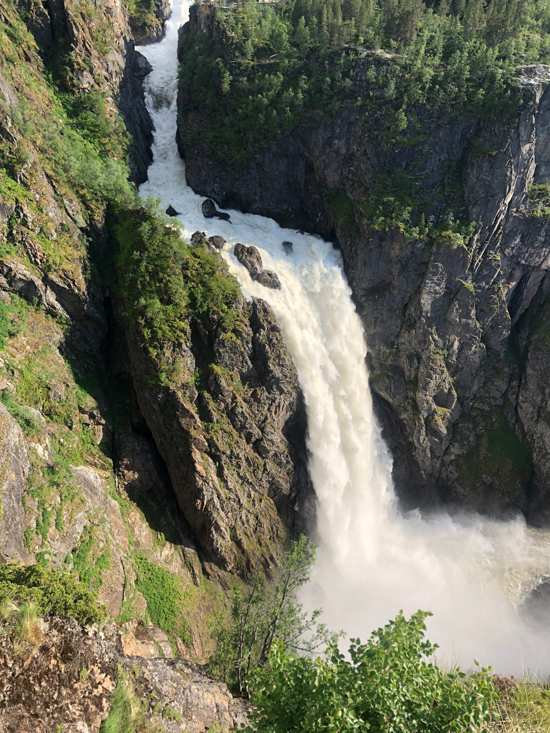
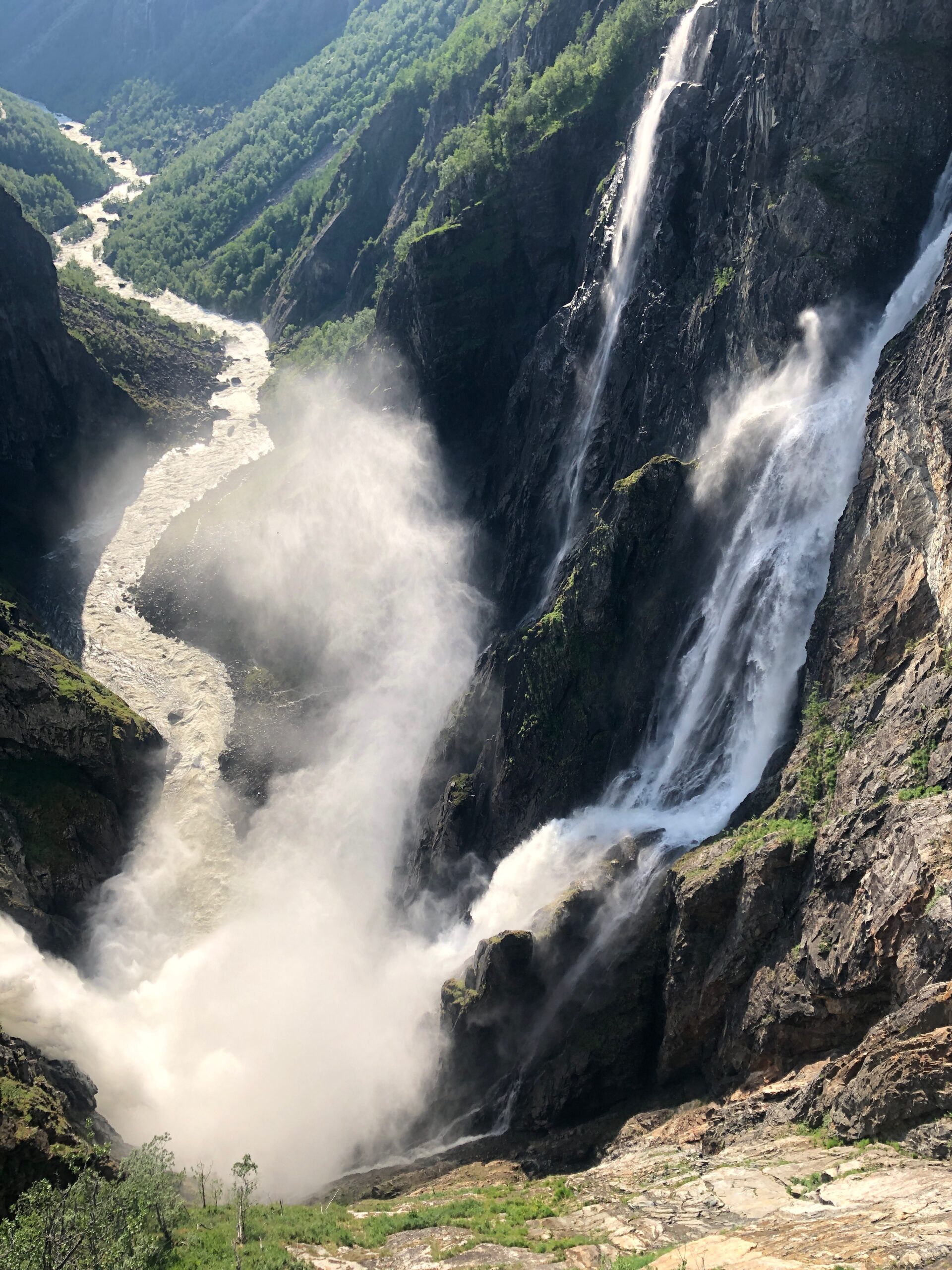
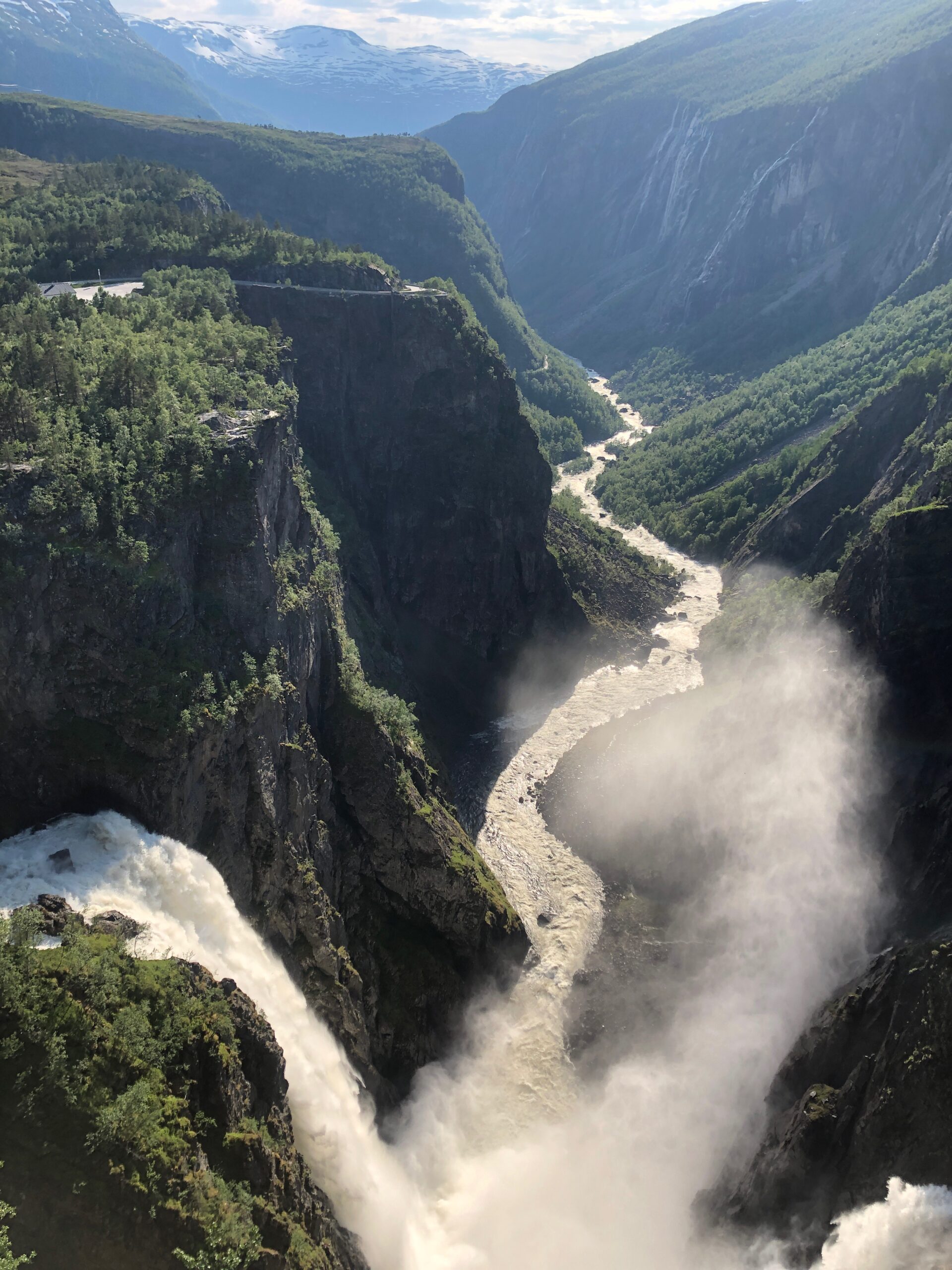
Vøringsfossen (Photo: Finn-G. Frostad)
Norwegian Scenic Route Hardangervidda runs from Eidfjord to Haugastøl, a total distance of 67 km (Road 7). This route is open for traffic throughout the year.
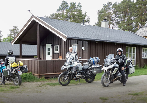
On a personal note, Hardangervidda is one of my favorites. Probably because I’m born in Bergen and grew up in Oslo. I’ve been driving this stretch countless times, summer, winter, autumn, spring. By car and with motorcycle. It’s not the only connection between east and west, but definitely one of my favorites.
From East to West
Hardangervidda is equally great no matter which way you drive it. If you drive from the East, you will have a long, slow climb through the beautiful valley Hallingdal. Barely noticing that you are actually climbing towards Europe’s highest mountain plateau, except from the changing environment. Hardangervidda is not only the highest, but also the largest mountain plateau in northern Europa — 8000 km2. From the valley with pine wood and smaller agricultural areas, you pass the tree line, and before you know it, you are on the plateau following a lazy road with long curves across the wide plains. A truly great experience on two wheels.
The Hardangervidda plateau boasts one of the biggest populations of wild reindeer in Europe and if you are very patient and very lucky you can marvel at these amazing animals in their proper element.
Before you pass the watershed (vannskille), the terrain is relatively flat, but on the west side of the watershed, it’s rougher. Mountain ranges appear, and suddenly you dive into the untamed Måbødalen. Now the scenery has changed completely, and you are suddenly in Eidfjord, a little village innermost in the Hardangerfjord.
History
People have probably crossed the mountains for more than 1,000 years, but it was only at the beginning of the last century that roads were established. Many of these follow the original paths and cart tracks, so even though much has changed, it’s gratifying to think that we are often following in the footsteps of those who roamed the mountains many centuries ago.
Experiences
Vøringsfossen is Norway’s best-known waterfall, and it’s easy to understand why it makes such an impact on people. The water thundering down the mountainside in a free fall of 182 meters is an impressive sight. The valley of Måbødalen is a spectacular part of the route and can be admired from the car window, although you should perhaps make a stop to discover the few parts of the old road still visible in some places.
Other locations in this part of Norway:
Røste Camping is located about 11 km south of Røros along road Fv30 and motorcyclists can park their bike in the garage.
View more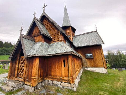
Hedalen stave church is probably built sometime between 1150 and 1200, but the first reference to it is in 1327.
View more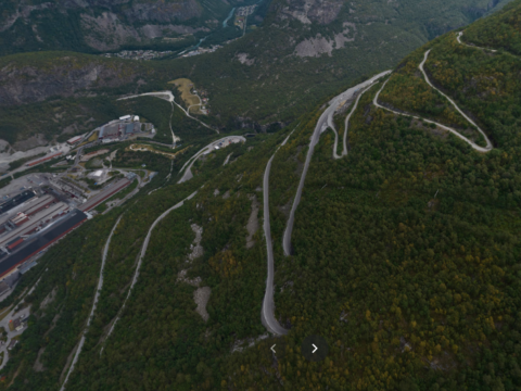
Tyinvegen is the road that runs between road 5 at Fodnes in Lærdal and Tyinkrysset in Vang, via Årdal. The length of the road is 71.6 km.
View more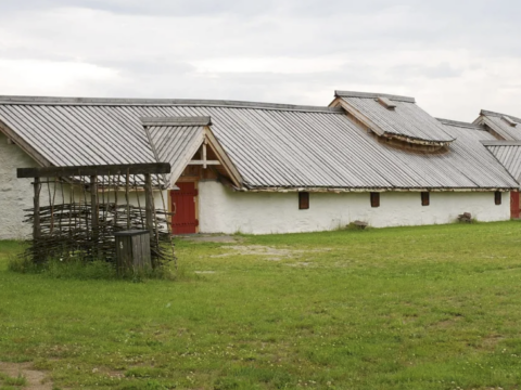
Veien Cultural Heritage Park in Hønefoss providing visitors with insights to Norway's ancient past and early Iron Age.
View more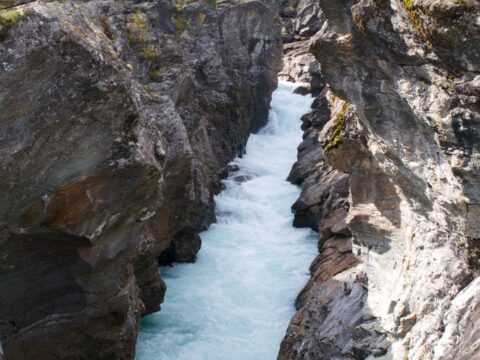
The knight's leap (Ridderspranget) is a gorge in the river Sjoa where a knight, according to the legend, jumped with a girl on his horse.
View more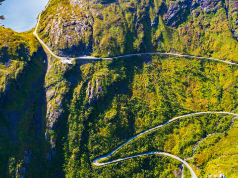
Norwegian Scenic Route Gaularfjellet runs from Balestrand to Moskog and from Sande to Eldalsosen, a total distance of 114 km.
View more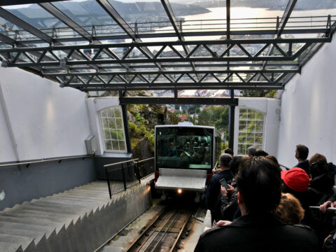
The Fløibanen funicular in Bergen is one of Norway’s best-known attractions and the only railway of its kind in the country.
View more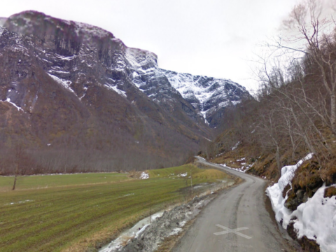
The gravel road to Nørdstedalseter is a hidden gem in Breheimen. If you go, you have to endure the view twice since its a dead end.
View more